| |
Welcome to the | |
| |
AACES-1 Project | |
| Australian Airborne Cal/val Experiment for SMOS |
|
Home page
Google Earth (KML file) Workplan SMOS AMSR-E WindSat ASCAT PALSAR ASAR MODIS MTSAT-1R ASTER Landsat CHRIS AVNIR-2 PLMR data Thermal Infrared data Multi-Spectral data Monitoring stations Soil moisture sampling Vegetation sampling Roughness sampling Campaign shapefiles DEM Land use Climate data Rainfall data Soil classification Soil water capacity Soil texture analysis AACES homepage Moisturemap homepage |
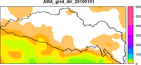
Rainfall DataDuring the AACES campaign, a few rainfall events occured within the Murrumbidgee catchment. Following, there are two animated examples showing weather radar images for 11 February 2010 (upper image) and daily precipitation plots for the entire period of the AACES campaign (bottom image). Rainfall and precipitation data have been sourced by the Bureau of Meteorology, Australia. 512km Yarrawonga Radar Loop for 11th, Feb. 2010
Daily precipitation
|
|
Created: January 2010 Last Modified: April 2010 Maintainer: YE Nan, n.ye@civenv.unimelb.edu.au |
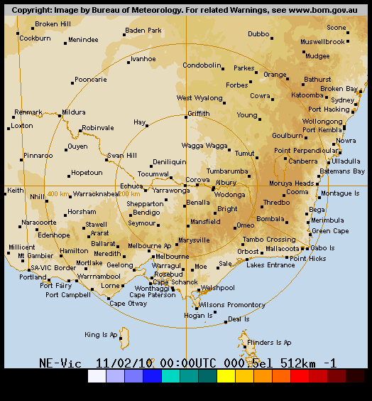 Source: Bureau of Meteorology, Australia
 Source: Bureau of Meteorology, Australia