| |
Welcome to the | |
| |
AACES-1 Project | |
| Australian Airborne Cal/val Experiment for SMOS |
|
Home page
Google Earth (KML file) Workplan SMOS AMSR-E WindSat ASCAT PALSAR ASAR MODIS MTSAT-1R ASTER Landsat CHRIS AVNIR-2 PLMR data Thermal Infrared data Multi-Spectral data Monitoring stations Soil moisture sampling Vegetation sampling Roughness sampling Campaign shapefiles DEM Land use Climate data Rainfall data Soil classification Soil water capacity Soil texture analysis AACES homepage Moisturemap homepage |
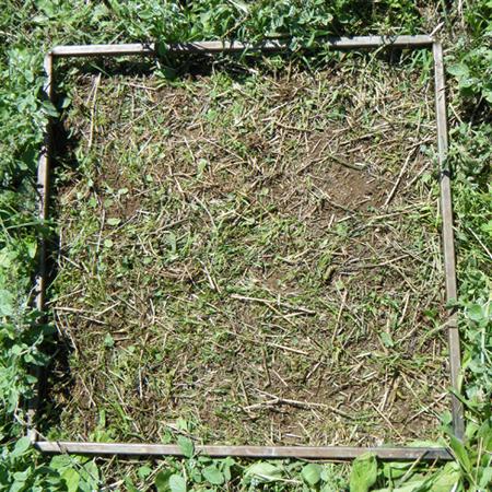
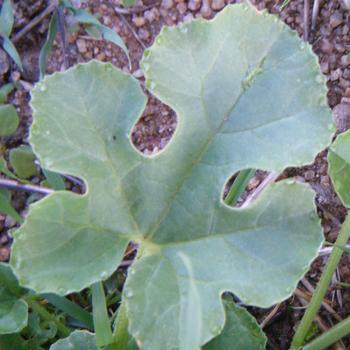
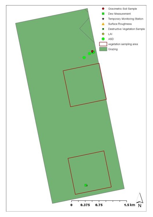
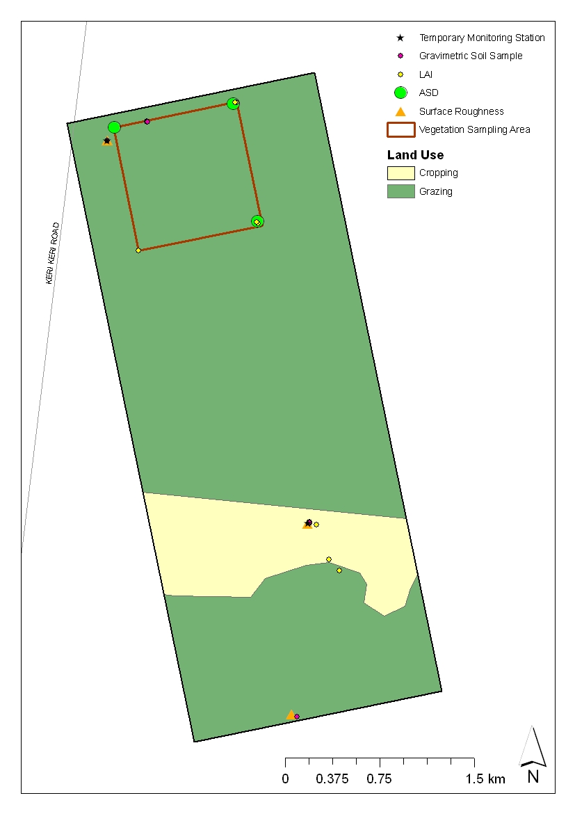
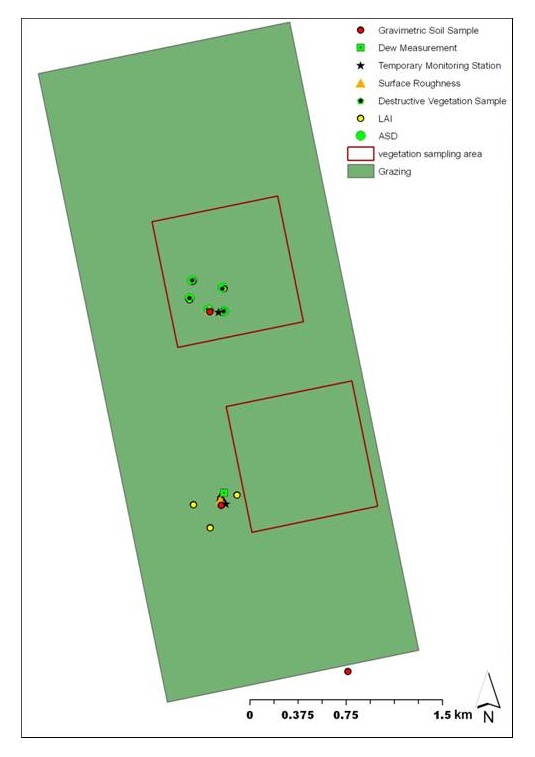
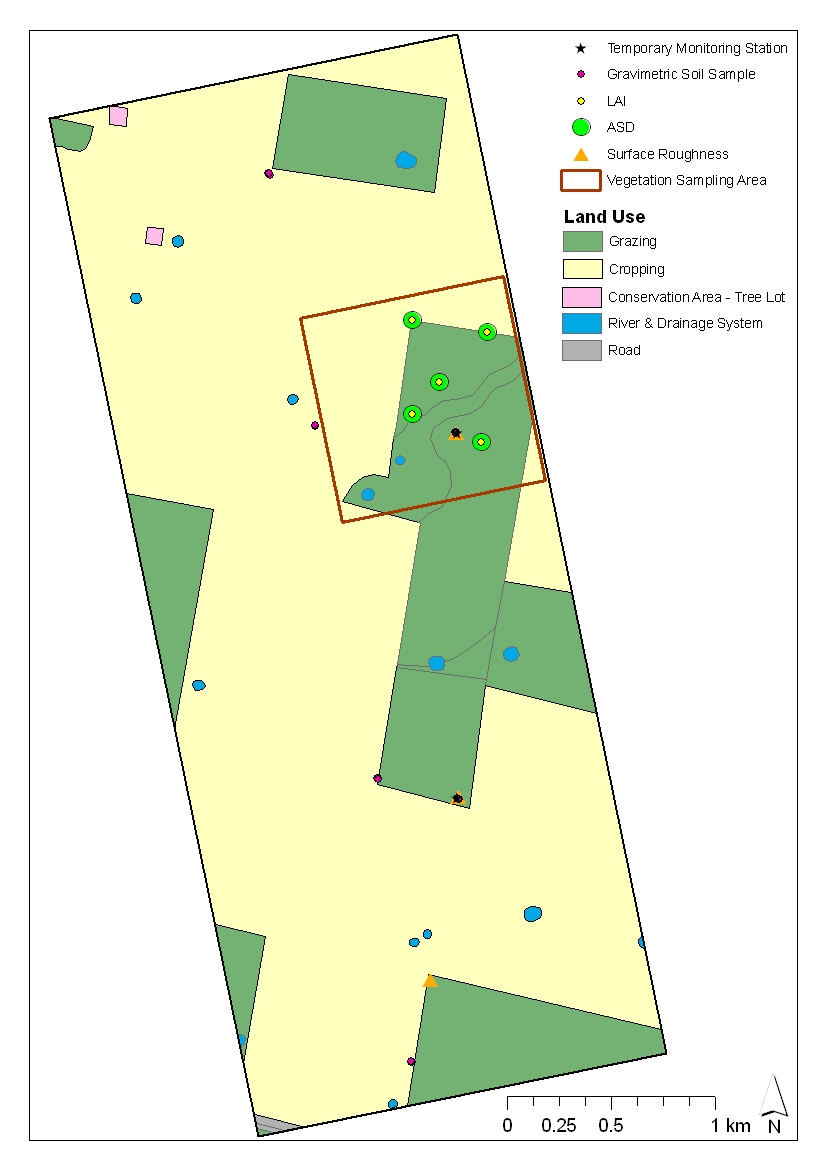
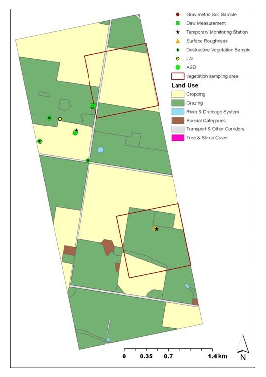
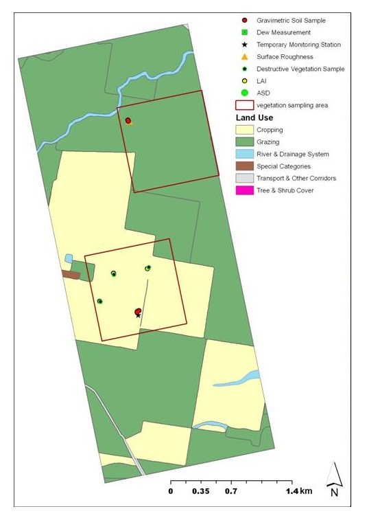
Vegetation SamplingThe vegetation teams were in charge of various measurements including destructive vegetation samples, spectral and leaf area data collection, dew samples, gravimetric soil moisture and surface roughness measurements. Vegetation water content (g of water per m^2) is an important parameter for modelling land surface emission at L-band and will be derived from destructive vegetation samples taken at several sampling locations. Moreover, surface spectral reflectance data is valuable in developing methods to estimate the vegetation water content and other canopy variables. Spectral observations made concurrent with biomass sampling will therefore provide the essential information needed for larger scale mapping using aircraft and satellite observations. In addition, reflectance measurements made concurrent with MODIS overpasses allow the validation of MODIS reflectance estimates based upon correction algorithms. During AACES, the Fieldspec3 developed by ASD has been used to make spectral measurements, and leaf area has been measured with a Licor LAI-2000.
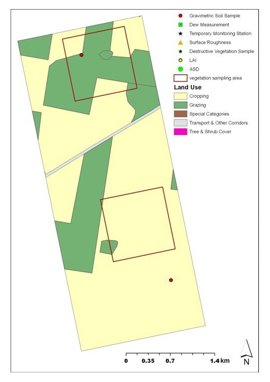
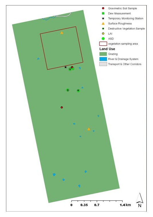
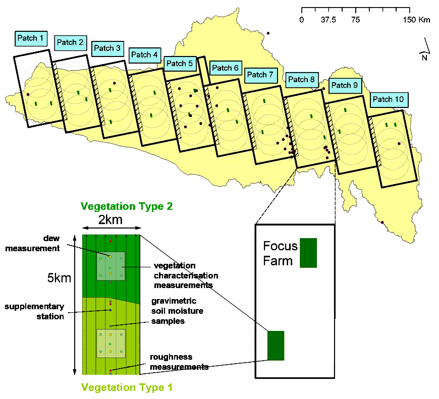 Schematic of the vegetation sampling strategy
Vegetation samples for biomass, vegetation water content and surface reflectance/LAI measurements have been collected in 1km boxes which represent 1km resolution PLMR pixels. Within each box, the major vegetation types have been characterised by making measurements at a minimum of 3 sampling locations distributed within homogeneous crops/paddocks. The figure shown above illustrates the rationale of the vegetation sampling locations according to the 1km box classification and the major vegetation types. Vegetation samples were repeated for each vegetation type or maturity across the focus farm transect.
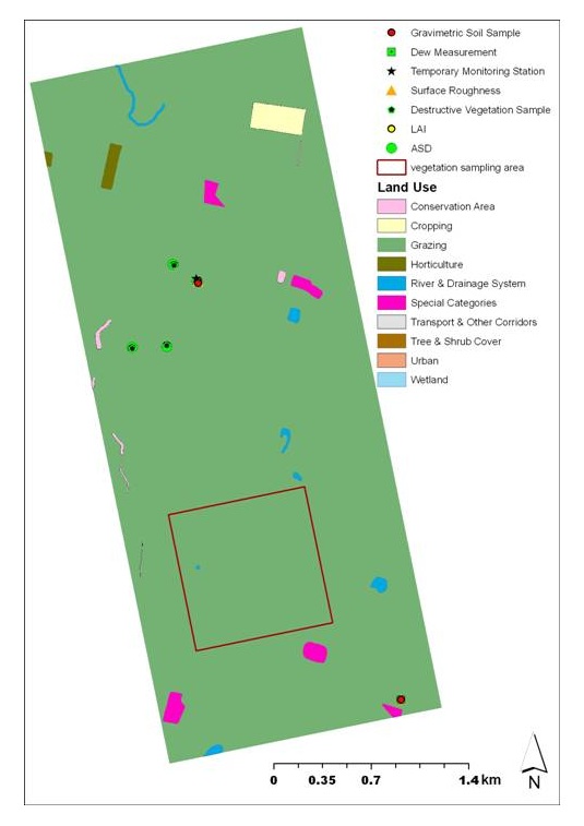
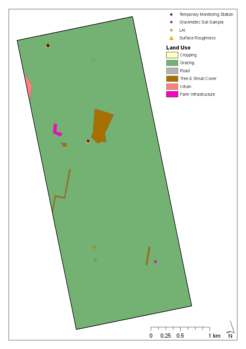
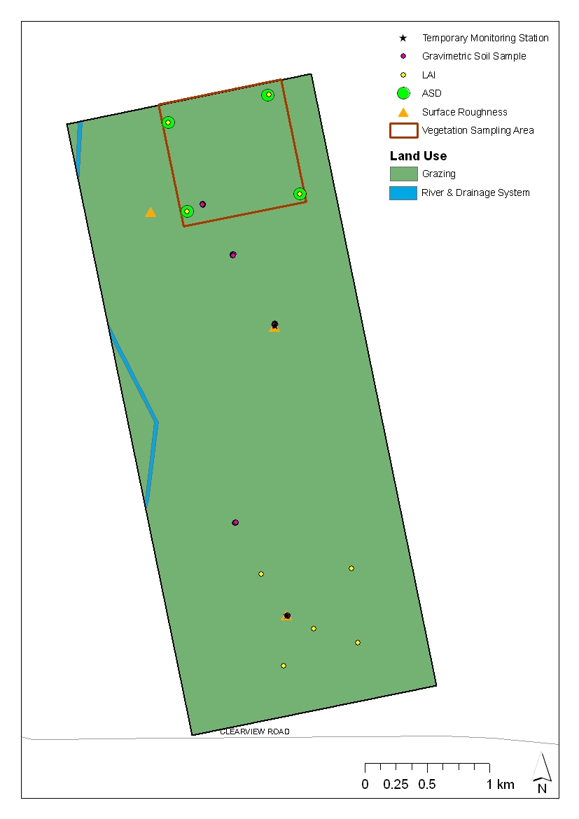
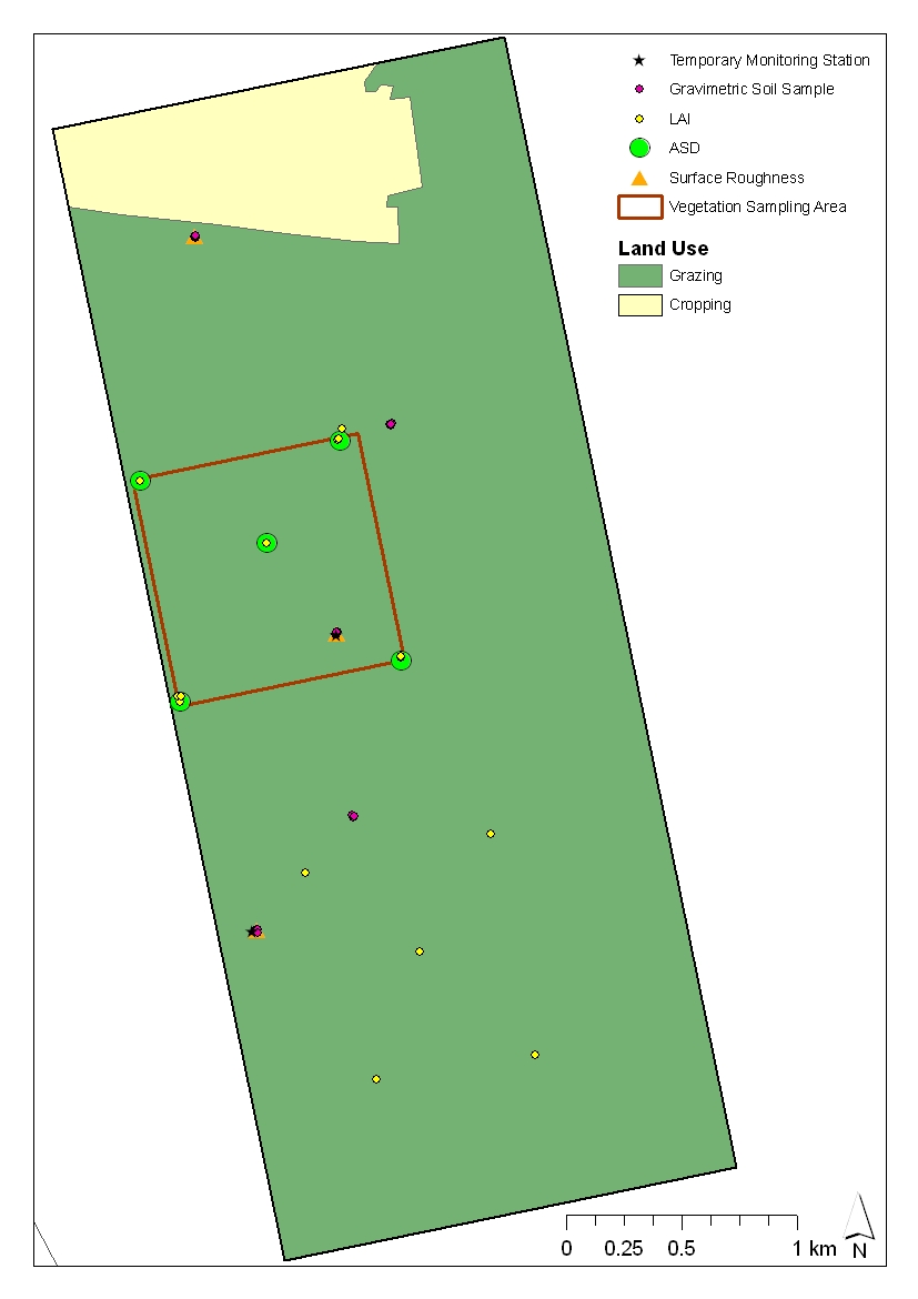
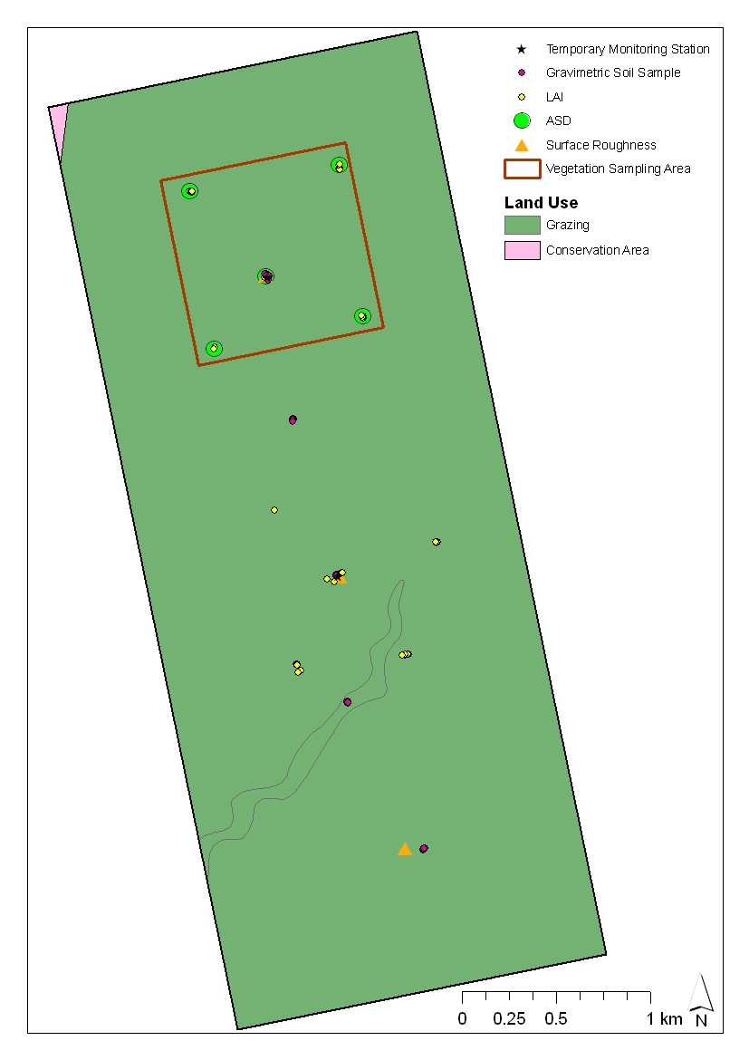
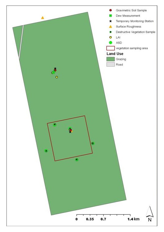
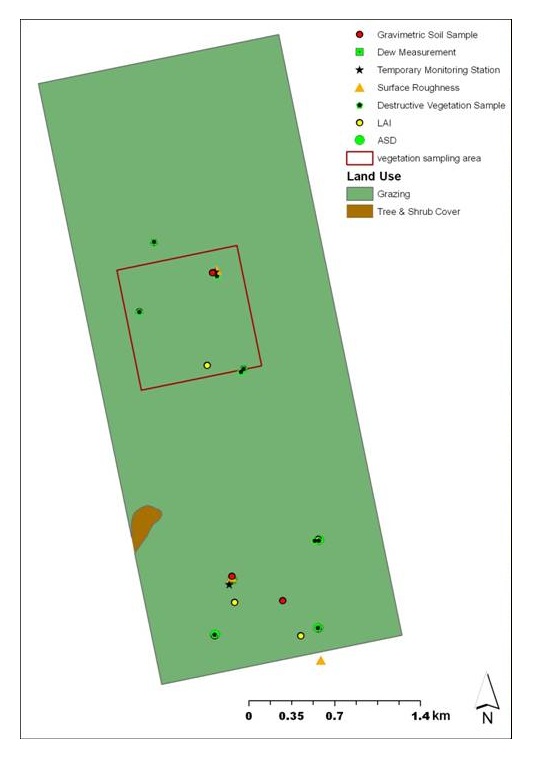
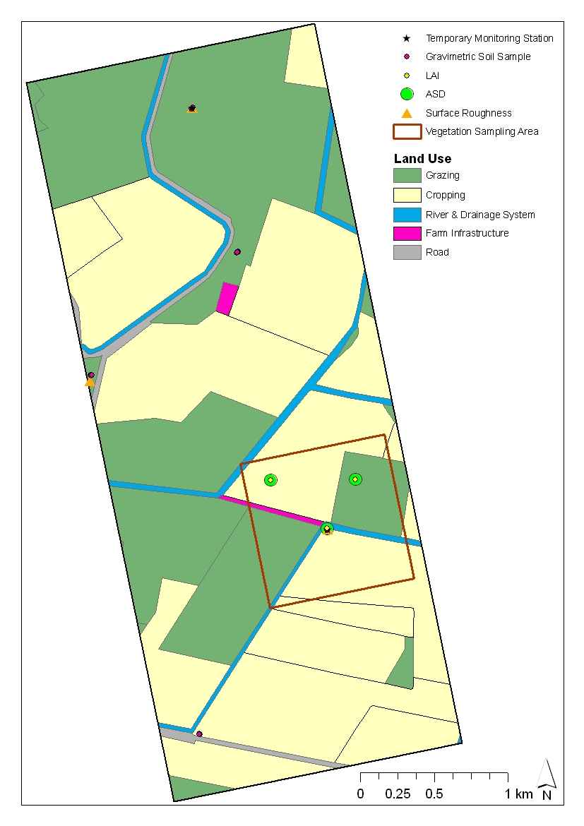
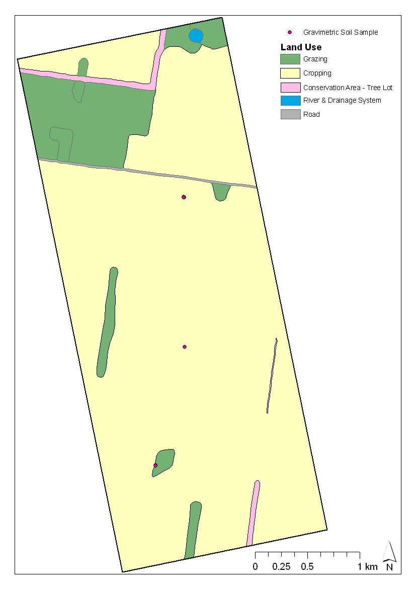
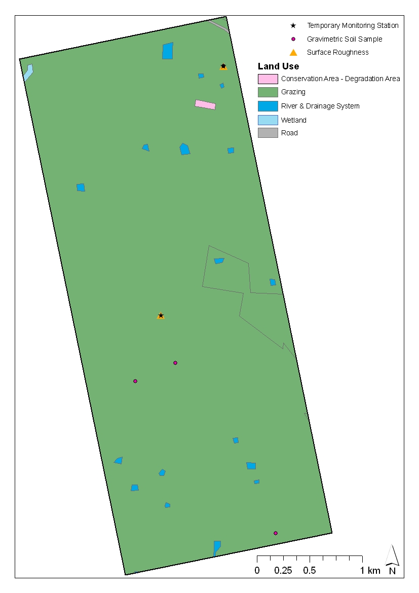
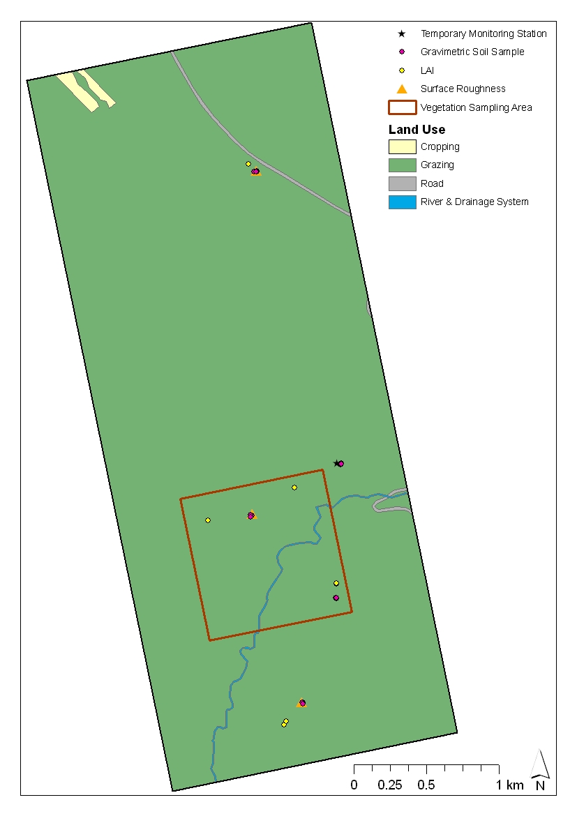
The location of Vegetation Sampling SitesThe locations of the vegetation sampling sites and ancillary data, that has been collected in each patch, are shown below. Users can download all data via the Download Centre |
|
Created: January 2010 Last Modified: August 2010 Maintainer: YE Nan, Ye.Nan@monash.edu |
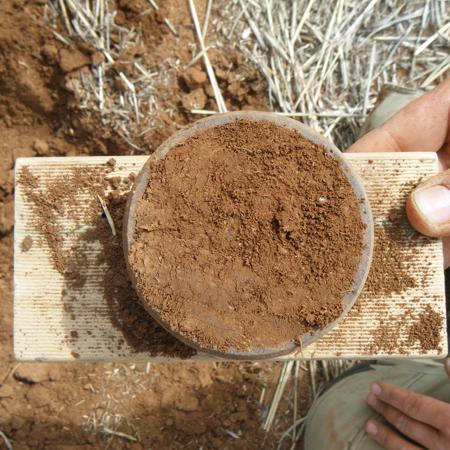 Gravimetric soil sampling at Focus Farm 13, Patch 07.
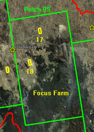
 Destructive vegetation sampling at Focus Farm 17, Patch 09.
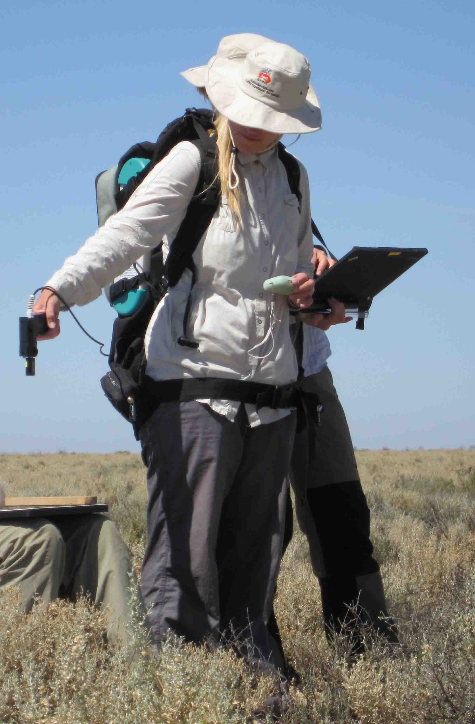 ASD sampling at Focus Farm 06, Patch 03.
 Dew sampling at Focus Farm 17, Patch 09.
 LAI sampling at Focus Farm 04, Patch 02.
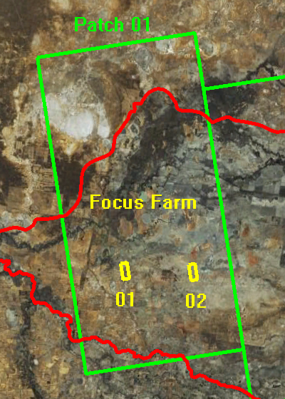 Patch 01; Source: GoogleEarth, accessed on 2nd, May 2010.
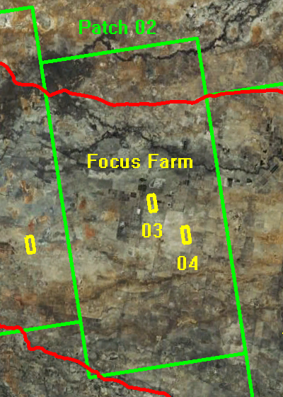 Patch 02; Source: GoogleEarth, accessed on 2nd, May 2010.
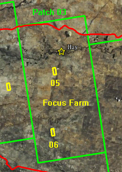 Patch 03; Source: GoogleEarth, accessed on 2nd, May 2010.

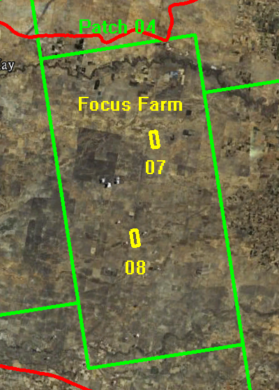 Patch 04; Source: GoogleEarth, accessed on 2nd, May 2010.
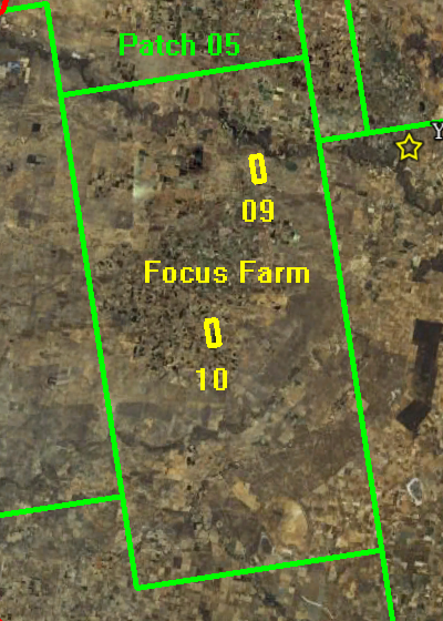 Patch 05; Source: GoogleEarth, accessed on 2nd, May 2010.
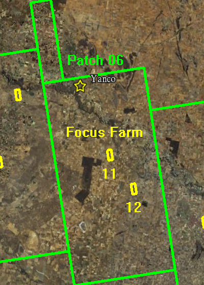 Patch 06; Source: GoogleEarth, accessed on 2nd, May 2010.
 Patch 07; Source: GoogleEarth, accessed on 2nd, May 2010.
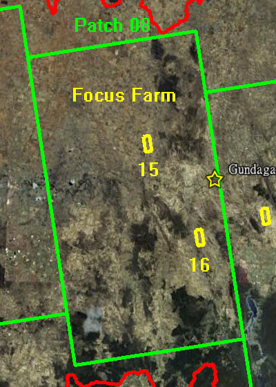 Patch 08; Source: GoogleEarth, accessed on 2nd, May 2010.
 Patch 09; Source: GoogleEarth, accessed on 2nd, May 2010.
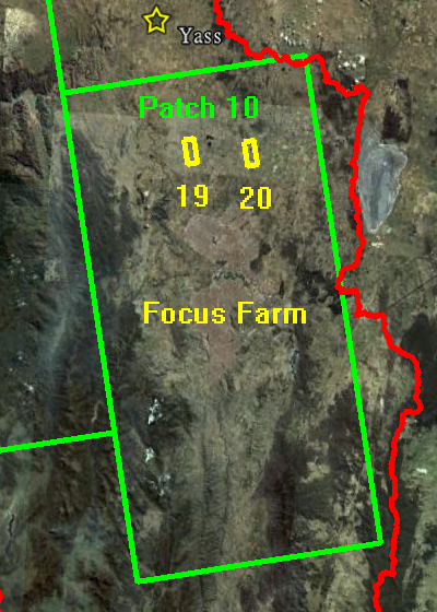 Patch 10; Source: GoogleEarth, accessed on 2nd, May 2010.